New to market product applies advanced AI technology to extract critical property risk information from satellite imagery
Geospatial Insight today announces the launch of its new product PropertyView, which derives critical property characteristics from satellite imagery, leveraging advances in artificial intelligence and scalable cloud computing. Providing new insights that improve risk targeting and pricing, PropertyView will empower insurers and risk managers to make better risk-based decisions on individual properties or on a broad portfolio of property risks.
This is an important development for property insurers and reinsurers in assessing risks, given the need to improve margins and price coverage accurately. PropertyView also allows insurers to rapidly populate risk-focused property databases, reducing the burden on clients to provide the data and aiding client on-boarding and retention.
Richard Hayes, Head of PropertyView Product Development at Geospatial Insight said:
“Essentially, we are offering insurers the ability to validate and enrich the information they use to rapidly assess risk and price coverage by providing current, accurate and consistent data, both at the level of an individual property and across a spatially diverse portfolio.”
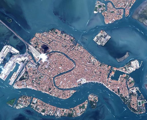
PropertyView can drill down and capture specific property features and extract data such as: building size, building height and number of storeys, total floor area, roof type and roof material. Additional features are being added as the product grows and develops.
Dave Fox, CEO, Geospatial Insight added:
“PropertyView offers the insurance market the opportunity to monitor their property portfolios throughout the duration of a policy as the satellites continually deliver fresh imagery that we can analyse."
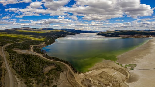
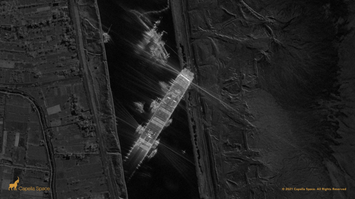
PropertyView is applicable globally as satellite image data is used as the primary data source, a solution that is both cost-efficient and that ensures the derived information is up to date. PropertyView is accessed via an easy-to-use and secure web interface and its data fields can be readily integrated into existing risk analysis workflows.
PropertyView is being showcased at the annual AIRMIC Conference taking place on 3rd– 5thJune 2019 on stand 203 in the Fujitsu Tech Hub. Find out more at geospatial-insight.com/products/propertyview and airmicconference.com/programme/fujitsu-tech-hub
Find out more about PropertyView and request sample data here
.jpg)