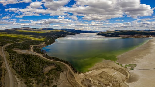
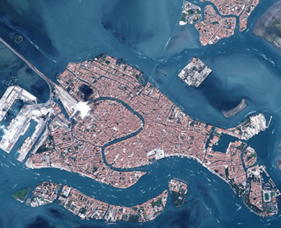
As hydrology is the study of the distribution and movement of water both on and below the Earth’s surface, as well as the impact of human activity on water availability and conditions, it not surprising that remotely sensed imagery from both air and satellite has long been recognised as a valuable information source for data creation and modelling. Satellite data is commonly used to assist bathymetric modelling, identifying offshore structures and map coastal and offshore zones. Whilst the advent of drone data capture has greatly aided the ability to map hard-to-access remote water bodies and features.
Over recent years a more data-centric approach has been adopted towards the collection and assimilation of hydrographic data. This has led to more frequent update programmes, the UK Hydrographic Office updates bathymetric surveys every three months, meaning greater availability of data and in turn an increase in size of the resulting datasets.
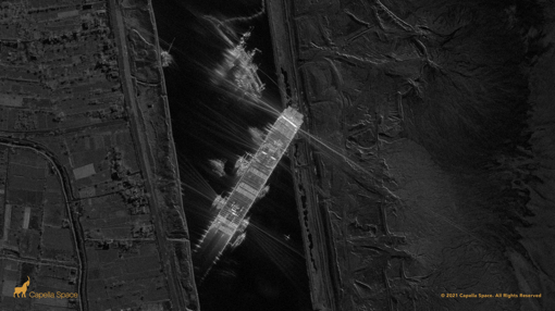
This is where machine learning and AI technologies now play their part as they are increasingly being applied to remotely sensing data, especially satellite imagery, as an effective way of monitoring and analysing maritime features such as ports, ocean transport routes and offshore structures. AI technology enables more cost effective and timely maritime surveillance tasks by reducing analysis time and enabling the processing and vast amounts of data.
At Geospatial Insight, this is our specialism, fusing together our unparalleled access to global imagery with leading edge data analytics, including proprietary AI algorithms, to provide our clients with the intelligence they need to make better business decisions. For maritime applications, we integrate our expertise with the world leading Hexagon Geospatial technologies.
Not only does ERDAS IMAGINE have unrivalled capabilities to classify and interrogate satellite data, but now the M.App Enterprise platform provides a unified approach to remote sensing and GIS, embracing both the capabilities of ERDAS IMAGINE and GeoMedia within a cloud based environment. This makes it the ideal solution for any organisation needing both raster and vector capabilities.
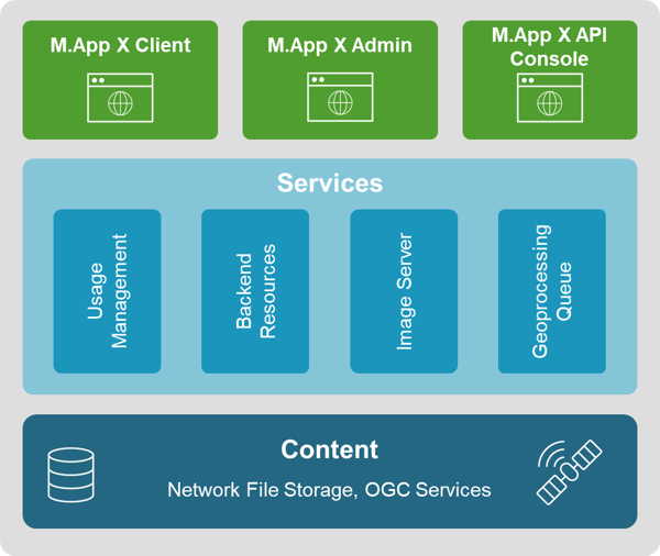
The benefit of using Hexagon’s M.App Enterprise can be seen across the globe for all types of maritime applications, including port management. One of the latest examples is from Estonia, where the Port of Tallinn, the country’s largest port authority, is leveraging the power of M.App Enterprise to improve operations and manage property and utilities infrastructure. This approach enables easier inter-organisational access to and sharing of location-based data regardless of working environment, across desktop, browsers and mobile devices.
The reason M.App Enterprise has been selected is due to it being a powerful, cloud-deployable solution that is well suited to the maritime environment, allowing you to:
- Connect
- Host on the cloud or on-premises to meet security requirements.
- Centralize storage and computation to eliminate the cost of maintaining multiple workstations.
- Share the latest intel across desktop, browser and mobile devices
- Examine
- Utilise the unique spatial data modelling environment that provides near-immediate feedback and previews.
- Easily interpret imagery with immediate dynamic adjustment.
- Measure position, height, bearing, angle, polygon area, perimeter, precise elevation, and sensor position information.
- Report
- Create illustrative and interpretable maps using a rich styling library of symbols, lines, brushes, polygons, and text.
- Collect working data in one place and easily share it with colleagues.
- Centralize the geospatial data repository giving everyone in the organisation the most current information.
- Decide
- Give all users instant access to the latest information and share the same view from field workers, through managers to decision makers.
- Produce real-time, accurate, actionable information.
M.App Enterprise is built on more than 30 years of experience in the geospatial industry. Its easy-to-use graphic interface and ever-increasing capability for improving machine learning and AI techniques makes it’s the ideal solution for all hydrographic and maritime GEOINT applications, where imagery is key to ensure the latest and most accurate information is available across all users.